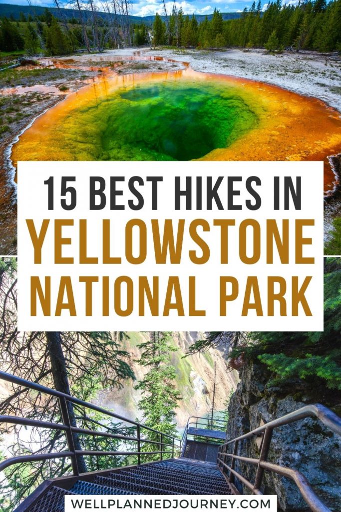
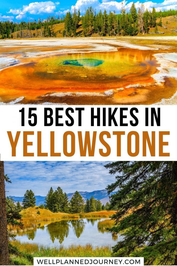
Boiling geysers, cascading waterfalls, and deeply carved canyons. Yellowstone’s beauty and wildlife are best explored by hiking. But with over 1,000 miles of trails, choosing the right hikes can be overwhelming.
This guide highlights the 14 best hikes in Yellowstone, from easy strolls through geyser basins to challenging summit trails. Plus, I’ll share essential hiking tips to ensure you’re prepared.
By the end of this post, you’ll be ready to conquer your first Yellowstone hike!
This post may contain affiliate links, where I may receive a small commission at no additional cost to you. Read more in this disclosure policy.
At-a-Glance: Best Hikes in Yellowstone
Easy Hikes:
- Upper Geyser Basin: 3.5 miles, numerous geothermal features.
- Grand Prismatic Overlook: 1.5 miles, hot spring aerial views.
- Storm Point Trail: 2.5 miles, stunning lake views.
- Trout Lake Loop: 1.2 miles, serene lake and wildlife.
Moderate Hikes:
- Brink of the Lower Falls: 0.7 miles, waterfall views.
- Fairy Falls Trail: 4.8 miles, picturesque falls.
- Beaver Ponds Loop Trail: 5.5 miles, scenic and wildlife.
- North Rim Trail: 6.4 miles, canyon and waterfall views.
- Lone Star Geyser Trail: 5.3 miles, unique geyser experience.
- Point Sublime via Artist Point Trail: 2.7 miles, stunning canyon views.
Difficult Hikes:
- Mount Washburn Trail: 6 miles, panoramic summit views.
- Avalanche Peak Trail: 4.5 miles, high-elevation summit hike.
- Bunsen Peak Trail: 4.4 miles, challenging peak.
- Lamar River Trail to Cache Creek Trail: 7 miles, backcountry views.
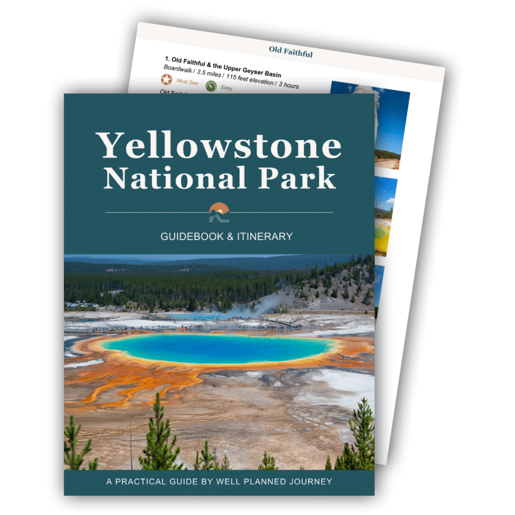
Get the Yellowstone Itinerary & Guidebook
The step-by-step itinerary and ultimate guidebook covers all the must-see geysers, hot springs, hikes, and sights. This 87-page guide is filled with detailed itineraries, insider tips, maps, regional overviews, and more for planning a stress-free trip to Yellowstone!
Best Easy Hikes in Yellowstone
Upper Geyser Basin and Old Faithful Loop
- Distance: 3.5 miles
- Elevation: 114 feet
- Time: 1 hour 30 minutes
- Area of Park: Old Faithful
- Trailhead: Old Faithful Viewing Platform
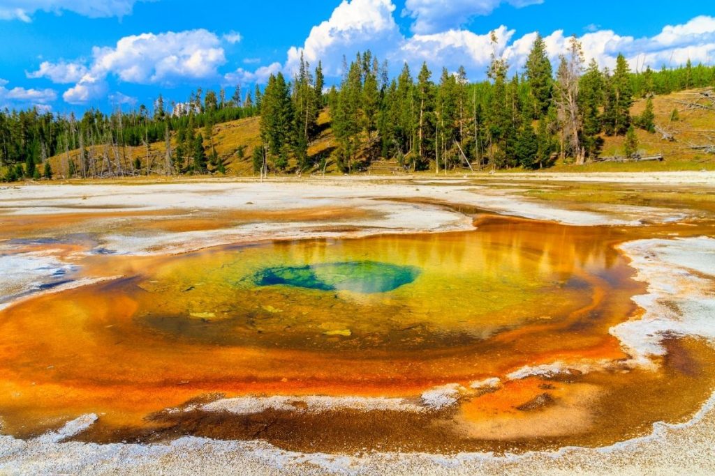
Old Faithful, Yellowstone’s most famous attraction, is a must-see. But beyond it, the Upper Geyser Basin boasts the densest concentration of hydrothermal features in the world.
Start at the Old Faithful platform, then around the Geyser Hill area. Continue through the Upper Geyser Basin, visiting Morning Glory Pool, Riverside Geyser, and Castle Geyser.
Read More: 22 Best Things to Do in Yellowstone
Grand Prismatic Overlook Trail
- Distance: 1.5 miles
- Elevation: 200 feet
- Time: 45 minutes
- Area of Park: Midway Geyser Basin
- Trailhead: Fairy Falls Trailhead
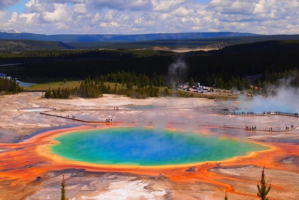
The Grand Prismatic Overlook Trail is a must-see, despite the crowds. The famed hot spring is best seen from above, particularly in the afternoon sun when the colors are most vibrant and morning fog has burned off.
Starting at the Fairy Falls Trailhead near Midway Geyser Basin, this short, easy trail leads to a viewing platform. From there, you’ll enjoy stunning aerial views of Grand Prismatic Spring. For a closer look, walk the nearby Midway Geyser Basin boardwalk.
Storm Point Trail
- Distance: 2.5 miles
- Elevation: 98 feet
- Time: 1 hour
- Area of Park: Yellowstone Lake
- Trailhead: Storm Point Trailhead
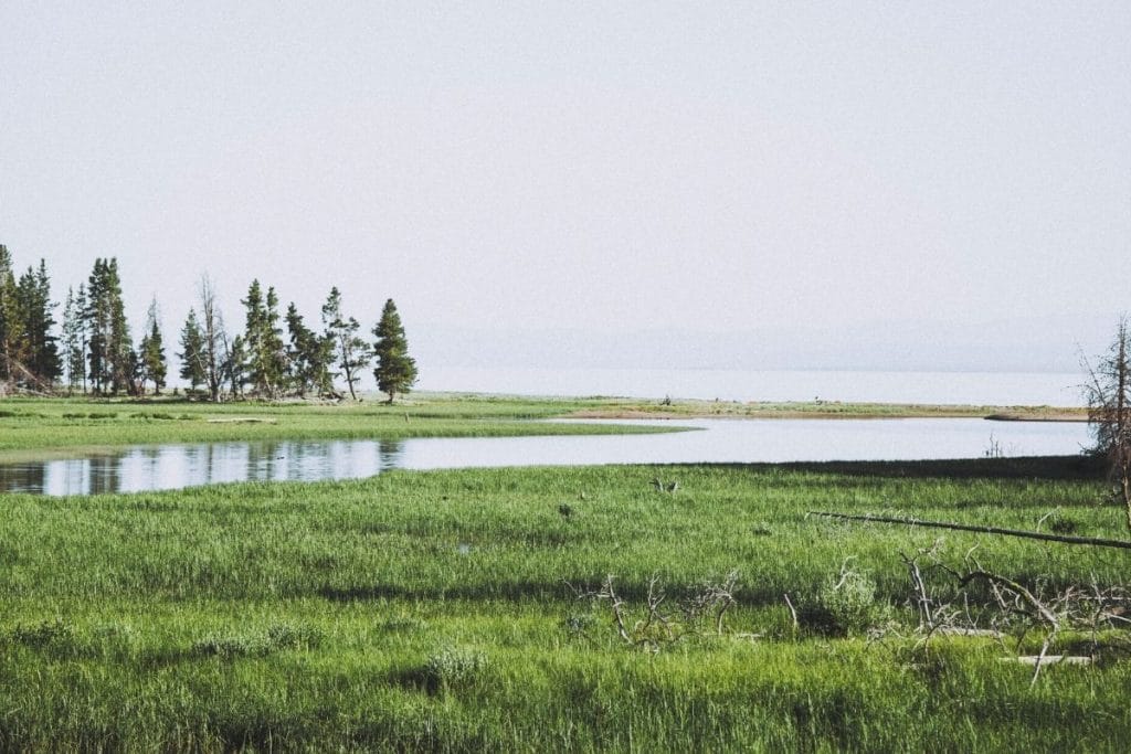
For an easy lakeside hike, try the 2.5-mile Storm Point Trail. Starting just past the Fishing Bridge Visitor Center, the trail passes Indian Pond and reaches the shores of Yellowstone Lake.
At Storm Point, enjoy views of the lake along the rocky shoreline. In summer, the meadows are filled with wildflowers, and you might spot bison and marmots.
Trout Lake Loop
- Distance: 1.2 miles
- Elevation: 200 feet
- Time: 45 minutes
- Area of Park: Lamar Valley
- Trailhead: Trout Lake Trailhead
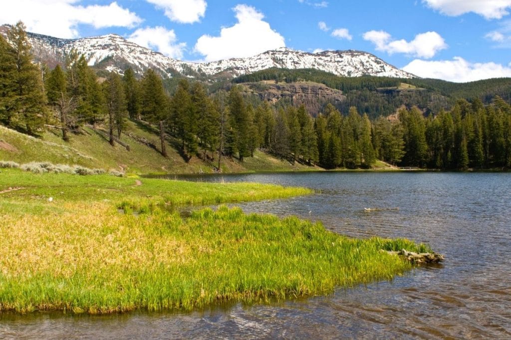
For a quick hike in Lamar Valley, try the 1.2-mile Trout Lake Loop. Starting along the Northeast Entrance Road, this trail offers excellent wildlife viewing, including otters, ospreys, and grizzly bears. In summer, the surrounding meadows bloom with wildflowers.
Top Moderate Hikes in Yellowstone
Brink of the Lower Falls Trail
- Distance: 0.7 miles
- Elevation: 265 feet
- Time: 30 minutes
- Area of Park: Grand Canyon of the Yellowstone
- Trailhead: Brink of the Lower Falls Parking Area
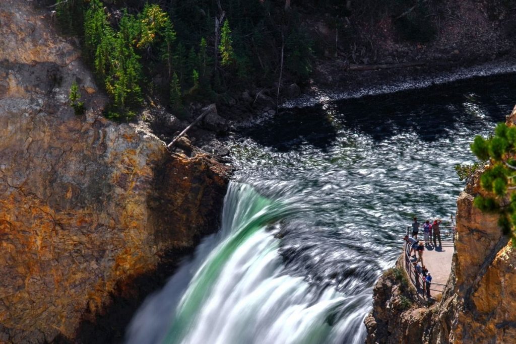
The Lower Falls, Yellowstone’s tallest waterfall at 310 feet, is more than twice the height of Niagara Falls. The Brink of the Lower Falls Trail takes you down steep switchbacks from the North Rim scenic drive parking area to an overlook at the top of the falls.
Despite the steep descent, this hike is under a mile round trip, making it doable for many visitors. Enjoy the powerful mist from the waterfall cascading into the canyon below.
Fairy Falls Trail
- Distance: 4.8 miles
- Elevation: 170 feet
- Time: 2 hours
- Area of Park: Midway Geyser Basin
- Trailhead: Fairy Falls Trailhead
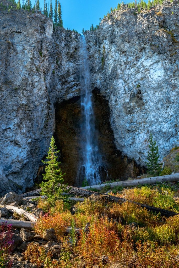
The Fairy Falls Trail, starting near Midway Geyser Basin, is one of Yellowstone’s top waterfall hikes. The trail begins on a flat path and climbs to the Grand Prismatic Spring Overlook, offering stunning aerial views of the park’s most famous hot spring.
Continue through a younger pine forest to reach the 200-foot Fairy Falls. For those with extra energy, extend the hike another half mile to the less crowded Imperial Geyser and Spray Geyser.
Beaver Ponds Loop Trail
- Distance: 6.0 miles
- Elevation: 674 feet
- Time: 3 hours
- Area of Park: Mammoth Hot Springs
- Trailhead: Beaver Ponds Trailhead
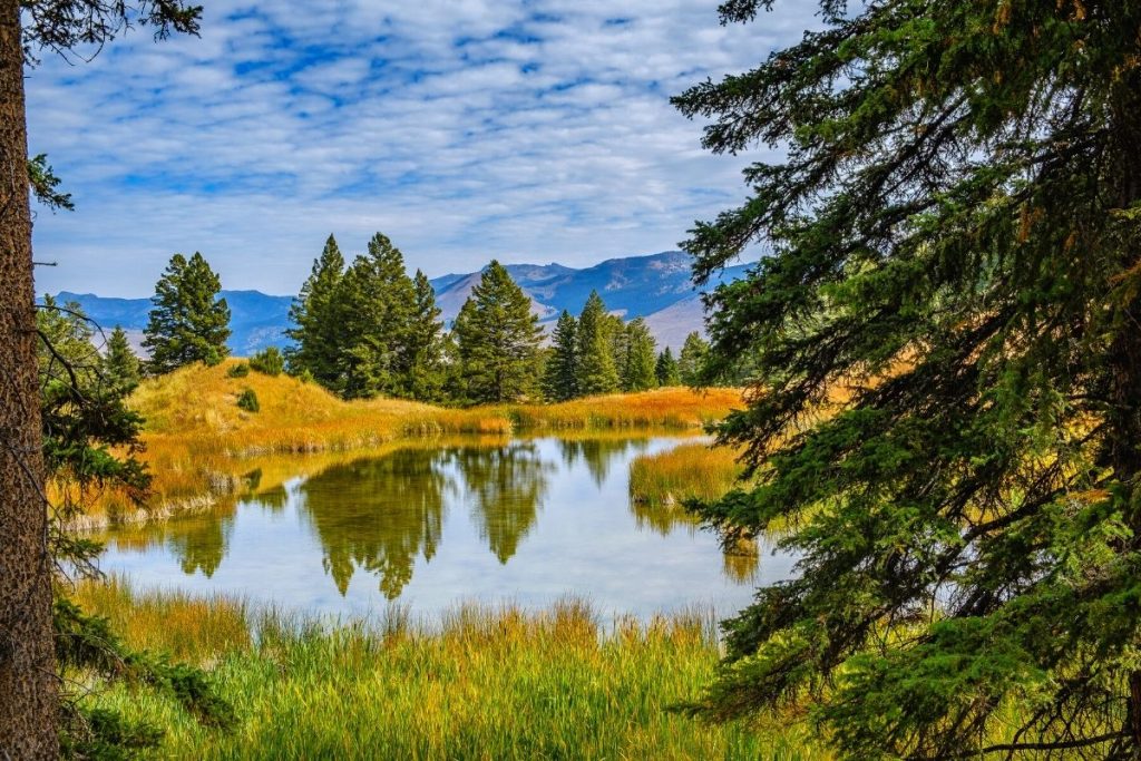
The Beaver Ponds Loop near Mammoth Hot Springs is a moderate trail with excellent wildlife viewing opportunities. It winds through forest and sagebrush meadows to a large pond with beaver habitats.
About halfway, you’ll see beaver dams and might spot beavers in the water. This family-friendly loop is a great addition after exploring Mammoth Hot Springs.
North Rim Trail
- Distance: 6.4 miles
- Elevation: 675 feet
- Time: 3 hours
- Area of Park: Grand Canyon of the Yellowstone
- Trailhead: Parking area at the start of South Rim Drive
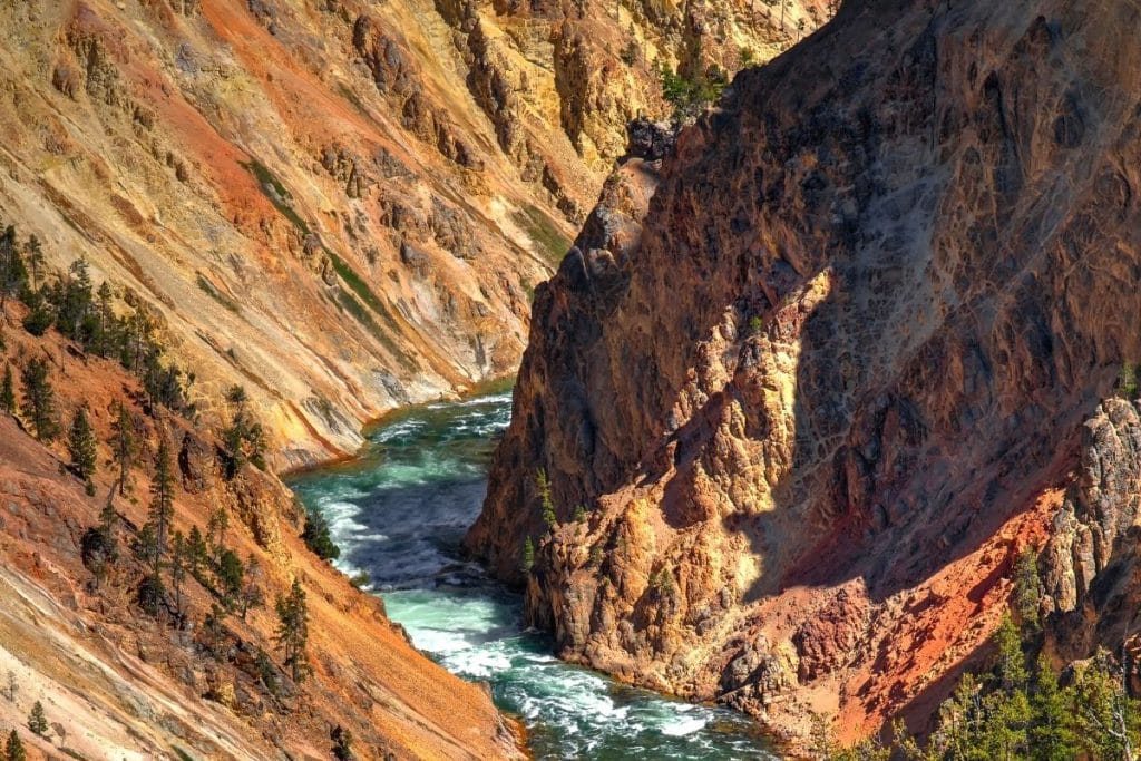
The North Rim Trail offers you the chance to hike the Grand Canyon of the Yellowstone in its entirety. Starting at the junction of Grand Loop Road and South Rim Drive, it crosses the Yellowstone River and follows the canyon’s northern rim.
Key viewpoints include Brink of the Upper Falls, Crystal Falls Overlook, Lookout Point, Grand View, and ends at Inspiration Point. You can also add on short detours to Brink of the Lower Falls and Red Rock Point for an opportunity to descend into the canyon.
Lone Star Geyser Trail
- Distance: 5.3 miles
- Elevation: 127 feet
- Time: 2 hours 30 minutes
- Area of Park: Old Faithful
- Trailhead: Lone Star Trailhead
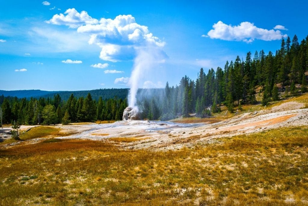
For an off-the-beaten-path hike, try the Lone Star Geyser Trail. This 5+ mile round trip hike offers solitude away from Yellowstone’s busier geyser basins.
Starting at the Lone Star Trailhead near Kepler Cascade, the trail follows the Firehole River through dense pine forest to the Lone Star Geyser. This cone geyser erupts every 3 hours, reaching 45 feet high and lasting for about 5 minutes.
Point Sublime via Artist Point Trail
- Distance: 2.7 miles
- Elevation: 341 feet
- Time: 1 hour 30 minutes
- Area of Park: Grand Canyon of the Yellowstone
- Trailhead: Artist Point Trailhead
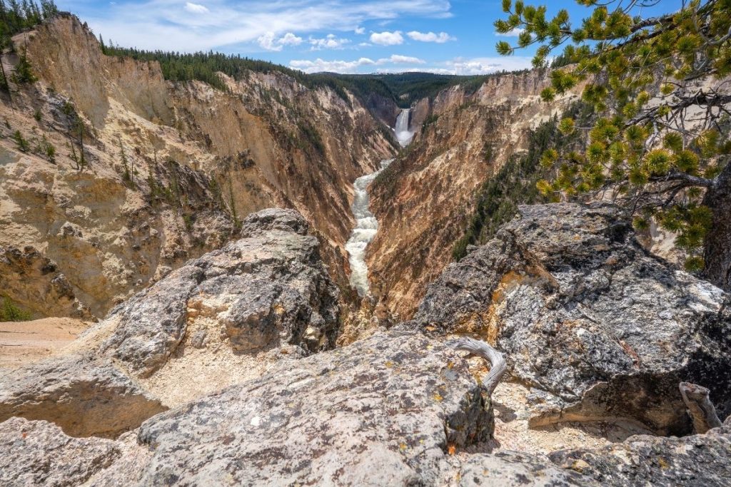
The Point Sublime Trail starts at Artist Point on the South Rim of the Grand Canyon of the Yellowstone. This nearly 3-mile round trip hike offers stunning views of the Yellowstone River’s Lower Falls and the colorful canyon.
The trail continues east past Artist Point to the secluded Point Sublime, providing a great escape from the crowds. For the best light in the canyon, hike in mid-morning.

Get the Yellowstone Itinerary & Guidebook
The step-by-step itinerary and ultimate guidebook covers all the must-see geysers, hot springs, hikes, and sights. This 87-page guide is filled with detailed itineraries, insider tips, maps, regional overviews, and more for planning a stress-free trip to Yellowstone!
Best Difficult Hikes in Yellowstone
Mount Washburn Trail
- Distance: 6.8 miles
- Elevation: 1,394 feet
- Time: 4 hours
- Area of Park: Near Canyon Village
- Trailhead: Dunraven Pass Trailhead
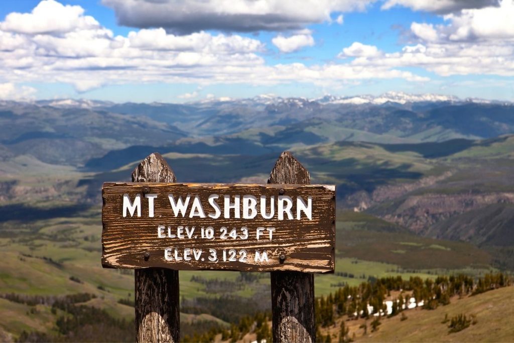
Mount Washburn is routinely rated as one of the top hikes in Yellowstone, offering spectacular views from its 10,243-foot summit. The most popular route starts at Dunraven Pass Trailhead, ascending 1,400 feet over 3.5 miles with a 7% grade.
At the summit, enjoy panoramic views of the Grand Canyon of the Yellowstone, Hayden Valley, and Yellowstone Lake, with a chance to see the Grand Tetons on clear days.
Wildlife sightings, including bighorn sheep and bears, are common. A shorter, alternative route starts at Chittenden Road, but it is much less scenic.
Avalanche Peak Trail
- Distance: 4.5 miles
- Elevation: 2,070 feet
- Time: 3 hours 30 minutes
- Area of Park: Yellowstone Lake
- Trailhead: Avalanche Peak Trailhead
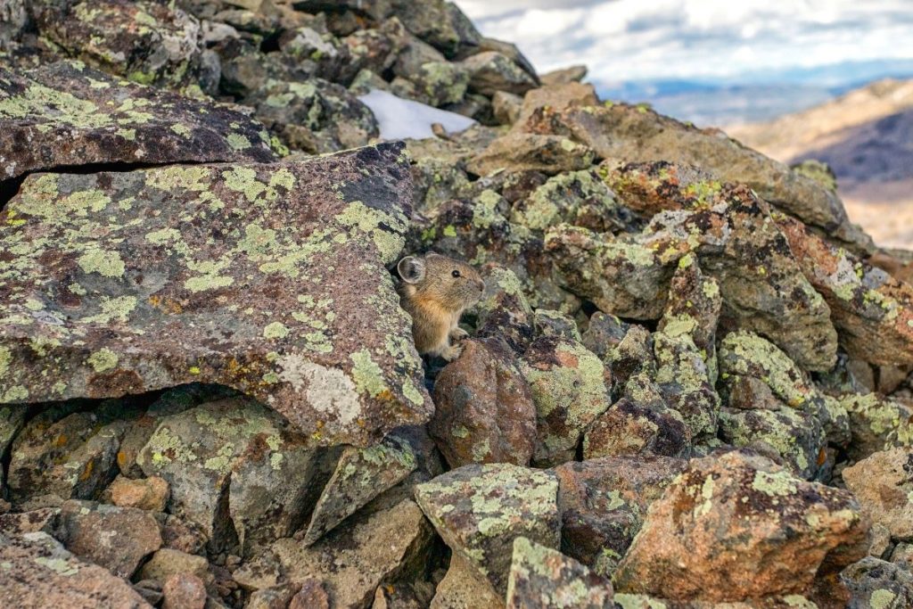
The Avalanche Peak Trail is a challenging summit hike offering stunning views of Yellowstone’s eastern area. Starting at the trailhead off East Entrance Road, this steep trail averages a 20% incline.
It begins in a pine forest with opportunities for bear and elk sightings, then opens to exposed terrain with panoramic views. At the 10,568-foot summit, you’ll see Yellowstone Lake and the surrounding mountain ranges.
Even in summer, expect some snow patches. This trail is perfect for those seeking a demanding hike away from the crowds.
Bunsen Peak Trail
- Distance: 4.4 miles
- Elevation: 1,282 feet
- Time: 3 hours
- Area of Park: Mammoth Hot Springs
- Trailhead: Bunsen Peak Trailhead
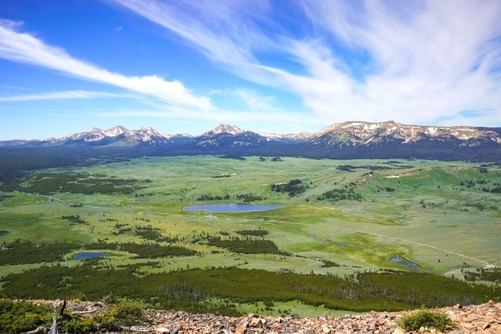
The Bunsen Peak Trail is a popular summit hike, climbing 1,300 feet over 2.2 miles with an 11% incline. Starting near Mammoth Hot Springs, the trail ascends steep switchbacks to a panoramic viewpoint.
From the summit, enjoy views of Mammoth Hot Springs, the Yellowstone River Valley, and the Gallatin and Washburn ranges. The hike is mostly exposed, passing through sagebrush and sparse pine forests.
Lamar River Trail to Cache Creek Trail
- Distance: 7.0 miles
- Elevation: 300 feet
- Time: 3 hours
- Area of Park: Lamar Valley
- Trailhead: Lamar River Trailhead
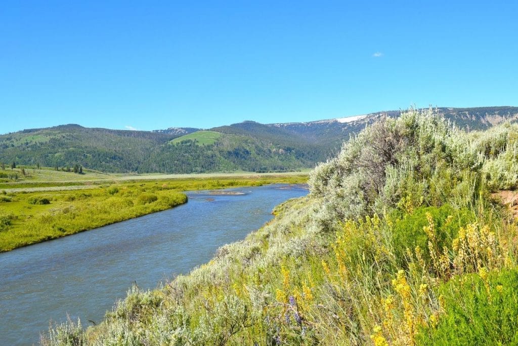
The Lamar River Trail is one of Yellowstone’s most popular backpacking routes, but you can also hike sections of the trail on a day hike!
Starting at the Lamar River Trailhead along Soda Butte Creek, the trail traverses wildflower meadows with abundant wildlife, including bison, pronghorns, bears, elk, coyotes, and wolves.
After 1.5 miles, it intersects with the Specimen Ridge Trail, leading to the Lamar River. Hike another 2 miles to Cache Creek for more mountain views, then head back the way you came.
This trail includes stream crossings and limited signage, suitable only for experienced hikers with backcountry experience.
What to Know Before Hiking in Yellowstone National Park
Before diving into the details of the best trails in Yellowstone, I wanted to share a few essential tips and reminders for your trip.
- Yellowstone charges an entry fee. However, you can use the annual national park pass to save time at the entrance station. The pass gets you into Yellowstone, Grand Teton, and thousands more national park sites. Get your annual national park pass here for $80.
- July to September is the best time to hike in Yellowstone. Trails are snow-free and accessible during these months. To avoid crowds, start your hikes in the early morning. Read more about the best time to visit Yellowstone.
- Always carry bear spray when hiking in Yellowstone. In addition, make noise on less crowded trails to alert animals. You can read more here about bear spray in Yellowstone.
- Cell service is limited in most areas of the park. Download maps and reservations in advance. I highly recommend AllTrails Pro to download your hikes for offline navigation.
- Dress in layers. Temperatures fluctuate dramatically from day to night. Wear moisture-wicking hiking shirts and warm fleece layers to keep you comfortable all day.
- Pack appropriate hiking gear. It’s crucial to carry the ten hiking essentials and bring a hiking backpack with plenty of room for water and extra equipment. Pack the ten hiking essentials and a spacious backpack for safety gear and water.
- Pets are not allowed on hiking trails. Never leave pets unattended. Read more about pets in Yellowstone National Park.
Looking for more tips on what to pack for your trip? Check out my guides on the best hiking gear, what to pack for a road trip, and essential camping gear for all my favorite gear picks and tips to make packing for your trip a breeze!
Frequently Asked Questions
Is Yellowstone good for hiking?
Yellowstone has over 1,000 miles of hiking trails, ranging from easy walks through the geyser basins to challenging summit hikes. So if you want to see the best of the park and avoid crowds, go for a hike in Yellowstone!
Can you hike alone in Yellowstone?
Given that Yellowstone National Park is located in bear country, it is best to hike in groups of at least 2 to 3 people. Hiking in groups helps you make more noise on trails, which reduces unexpected encounters with bears and other wildlife.
Do you need bear spray in Yellowstone?
Yes, you do need bear spray in Yellowstone. Keep your bear spray holstered on your hip or another easily accessible location. You can purchase your bear spray or rent it locally once you arrive in Yellowstone.
Is there a lot of hiking in Yellowstone?
There are tons of Yellowstone hiking trails, from geyser basins to waterfalls to canyons to expansive valleys! Whatever you’re interested in seeing, you’ll find the perfect Yellowstone hike for you. Hiking is also one of the best ways to avoid crowds in Yellowstone.
How do I prepare for a Yellowstone hike?
The best way to prepare for a Yellowstone hike is to research the trail ahead of time and check weather conditions. After you know what to expect, be sure to pack the ten hiking essentials, including water, layers, sunscreen, and bear spray.
How long are the hiking trails in Yellowstone National Park?
There are 1,000 miles of hiking trails in Yellowstone, but individual hikes can range from short walks under 1 mile to 40+ mile backpacking trails. With plenty of trails to choose from, you’ll be able to find a hike that suits your fitness level.
Final Thoughts and Next Steps
Yellowstone has no shortage of impressive hikes. Remember to plan ahead, pack the essentials, and respect the park’s wildlife and regulations.
Here’s a quick recap of the best hikes in Yellowstone:
- Easy Hikes: Upper Geyser Basin Loop, Grand Prismatic Overlook, Storm Point Trail, Trout Lake Loop
- Moderate Hikes: Brink of the Lower Falls, Fairy Falls Trail, Beaver Ponds Loop, North Rim Trail, Lone Star Geyser Trail, Point Sublime via Artist Point
- Difficult Hikes: Mount Washburn Trail, Avalanche Peak Trail, Bunsen Peak Trail, Lamar River Trail to Cache Creek Trail

Get the Yellowstone Itinerary & Guidebook
The step-by-step itinerary and ultimate guidebook covers all the must-see geysers, hot springs, hikes, and sights. This 87-page guide is filled with detailed itineraries, insider tips, maps, regional overviews, and more for planning a stress-free trip to Yellowstone!
Read these posts next:
- Itinerary: Ultimate Yellowstone National Park Itinerary
- Things to Do: 22 Best Things to Do in Yellowstone
- Add Grand Teton: 7 Days in Grand Teton and Yellowstone
Don’t Forget to Save This Post on Pinterest
