You’ve probably heard of California’s Pacific Coast Highway. It’s one of the most famous scenic drives in the country! But because of that, it’s crowded and sensationalized.
Instead, you should explore off-the-beaten-path.
There’s no better way to do that than a Lost Coast road trip. This epic Northern California scenic drive has hidden beaches and redwood forests. Best of all, it’s the perfect way to explore Northern California without the crowds!
On this road trip, you’ll visit quiet towns like Shelter Cove and Ferndale. And only miles away you can spot the world’s oldest redwood forest.
Ready to explore this rugged and forgotten section of California’s coast? This Lost Coast scenic drive guide has all the best hikes, views, quaint towns, and campsites.
Plus, get tips on where to stay and what to pack!
Planning a Northern California road trip? Check out these posts for more inspiration!
- San Francisco to Redwood National Park Road Trip
- Ultimate Guide to Visiting Redwood National Park
- San Francisco to Big Sur Coastal Road Trip
This post may contain affiliate links, where I may receive a small commission at no additional cost to you. Read more in this disclosure policy.
What is the Lost Coast?
North of Rockport, California’s famed Pacific Coast Highway cuts inland for 75 miles. This 75-mile stretch is one of the most undeveloped coastlines in the United States.
The rugged terrain and steep elevation make the area too difficult to build a highway. Without highways, the Lost Coast is quiet and relatively unpopulated, hence its name.
But this land wasn’t always unpopulated. The area was originally home to the Native Sinkyone and Mattole people before logging and the Gold Rush brought new settlers. Eventually, these industries declined and the settlers left.
Today, the Lost Coast includes a few small coastal towns and farmland. The King Range National Conservation Area protects much of the Lost Coast shoreline.
Best Time of Year for a Lost Coast Scenic Drive
Temperatures stay around 50 degrees all year. While temperatures are steady, rain fluctuates a lot by season. October to May is the rainy season, with an average of 13 rainy days per month.
For dry, sunny weather I recommend visiting the Lost Coast in the Summer, June to September. Rainy days are few and far between, the perfect time to hike and camp.
For dry, hopefully sunny (you never know on the California coast!) weather I recommend visiting the Lost Coast in the Summer, June to September. Rainy days are few and far between, the perfect time to hike and camp.
Are you planning a national park trip but don’t know where to start? Get my free 28-page national park ebook where I break down everything you need to know to visit all 63 USA national parks.
Download your free ebook here.
The Lost Coast California Scenic Drive Route
You’ll start your Lost Coast road trip in Eureka before heading south through the Lost Coast. You’ll see rolling hills, rugged beaches, and even redwood forests!
Before you set out, be sure to fill up on gas. You’re embarking on a 150-mile journey into the most remote part of California! Plan for this road trip to take the full day.
If you’re a visual person, check out my Lost Coast map later on in this post.
I use Expedia to find the best flight prices and compare routes. Once you find your flight, you can book directly through Expedia to save money, but still enter your frequent flyer numbers to get points!
If you need a rental car, I also recommend using Expedia to find the best deals across brands like Avis, Hertz, Enterprise, Budget, and more.
Eureka, California
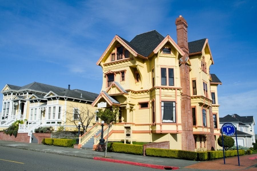
As the largest coastal town between San Francisco and Portland, Eureka makes a perfect home base. It’s also close to adventures like Redwood National Park and the Pacific Coast Highway.
Eureka is filled with history and old Victorian homes. In fact, the entire town is a state historic landmark! You can stay in historic inns, like the Eureka Inn, that make time come to a standstill.
Read More: 20 Best Stops on the Pacific Coast Highway
Ferndale, California
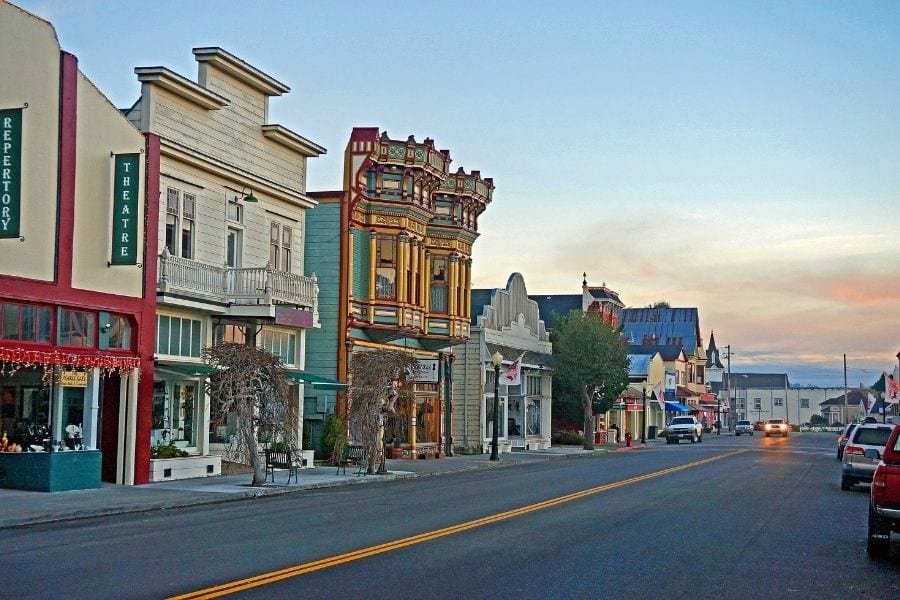
Ferndale is the gateway to the Lost Coast. This small town is quaint, filled with Victorian homes. As you drive through the streets, you’ll feel transported back to another era.
Spend a few minutes driving through the residential streets to gawk at the beautifully crafted homes. Life seems simpler driving through the streets of Ferndale.
Stop to walk around the downtown and check out the small shops and restaurants. Don’t miss the old-fashioned general store, the Golden Gait Mercantile.
Mattole Road Loop
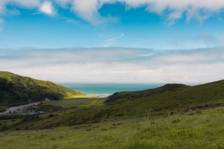
The road to the Lost Coast, Mattole Road, starts in Ferndale. This narrow, 2-lane road winds through the country before reaching the coastline.
While Mattole Road is only 65 miles long, it will take you at least 3 hours to drive. Windy roads and epic views make for slow speeds. This rural, country road has scenic views and few travelers, so stopping along the way is a must.
You’ll drive through miles of farmland before reaching rolling green hills. The landscape slowly changes from rugged peaks with spectacular views of the Pacific Ocean.
The road continues down through the hills to meet the coastline. This is one of the only spots in the Lost Coast where the road runs right along the water.
You can hike along the shoreline and take in the salty air. You’ll likely have the rocky, black sand beaches to yourself.
Mattole Road then heads back inland, unable to continue along the coastline. The rugged mountains of the King Range National Conservation Area make roads impossible.
To explore more of the coastline, you’ll have to travel by foot on the Lost Coast Trail.
Keep reading for more information on this popular backpacking trail.
Petrolia, California
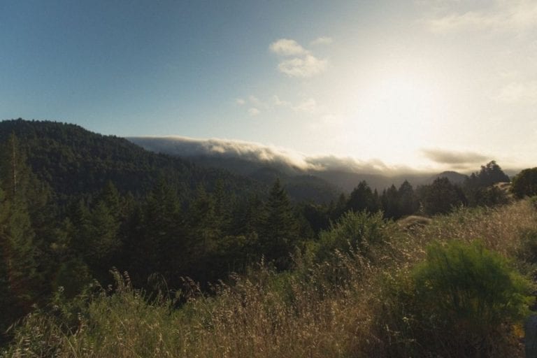
As you continue along Mattole Road, you’ll reach Petrolia. This town gets its name from the fuel, petrol. It’s the site of California’s first oil well!
Petrolia is home to less than 500 people and a few zebras. Yes, you read that right… zebras. I was honestly just as shocked as you.
Stop in at Petrolia’s General Store and fill up gas if you need to (this is one of the only gas stations on this road trip).
Mattole Beach and Campground
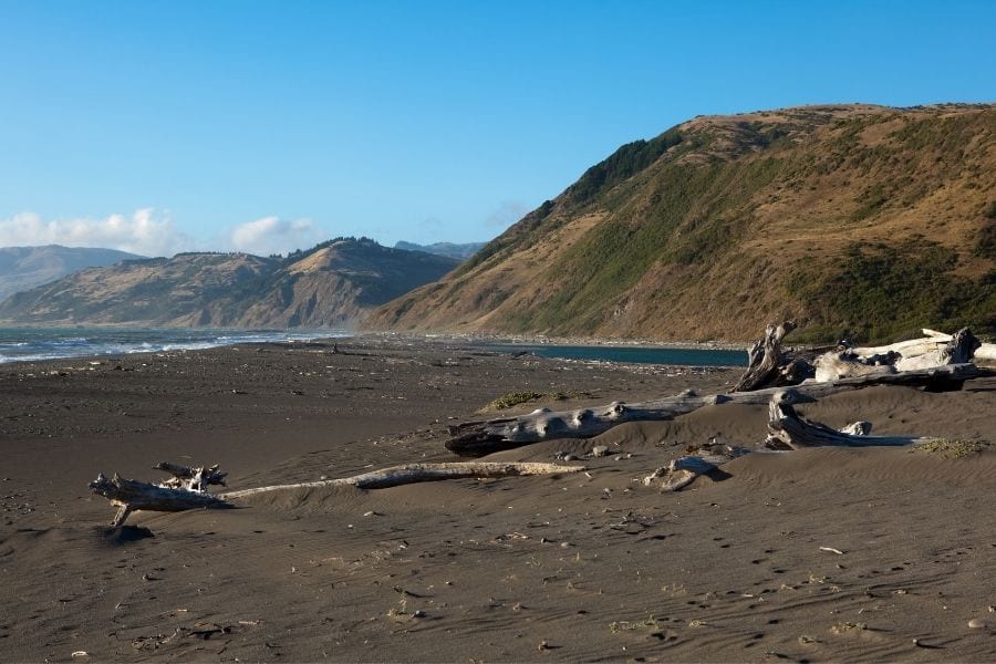
Shortly after Petrolia, you’ll reach the turnoff for Mattole Beach. To reach the beach, take Lighthouse Road.
At the end of this road, you’ll find Mattole Beach and one of the area’s only campgrounds, Mattole Campground. This is the perfect place to spend the night if you’re looking to escape crowds.
Mattole Campground is also a trailhead for backpackers hiking the Lost Coast Trail.
Keep reading for more information on the Lost Coast Trail.
Punta Gorda Lighthouse
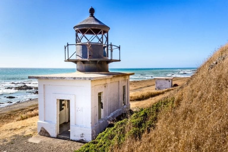
One of the best hikes in the Lost Coast is the 8-mile round trip stretch from Mattole Beach to the abandoned Punta Gorda Lighthouse.
The Punta Gorda lighthouse is one of the most remote lighthouses in California. Without major roads, the lighthouse was only accessible by horse.
Too difficult to maintain, the lighthouse was closed in 1951. Today, Punta Gorda Lighthouse is on the National Register of Historic Places and only accessible by foot.
Fun Fact: Old Bill was a Coast Guard service horse who worked pulling carts and supplies to the Punta Gorda Lighthouse. He worked for the Coast Guard from the 1920s until the lighthouse closed in 1951.
Is that not the cutest thing you’ve read today?
If you plan to hike to Punta Gorda Lighthouse, it is extremely important to check the tide tables before you go. Much of this beach trail is inaccessible at high tide.
You will need to consult the tide tables to time your hike at a receding tide.
Attempting this hike at high tide or when the tide is coming in is dangerous and can leave you stranded and at risk of death. Sorry for the scare tactics, but this is serious stuff.
Lost Coast Trail
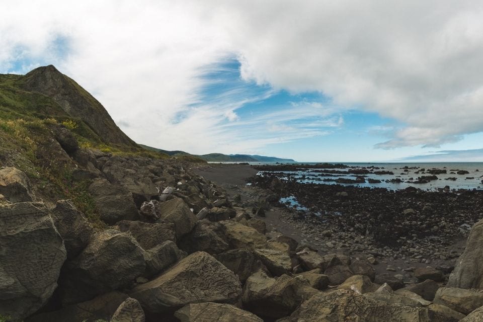
To continue exploring the Lost Coast past Punta Gorda Lighthouse, you’ll need to backpack the Lost Coast Trail. This iconic 24-mile trail through King Range National Conservation Area runs from Mattole Beach to Shelter Cove.
Backpacking the Lost Coast Trail requires a permit. Lost Coast Trail permits are released the prior year on October 1 on Recreation.gov. That means to hike the Lost Coast in Summer 2024, you’d want to request a permit on October 1, 2023.
While you don’t necessarily need to book the first day, you’ll have a better chance of getting your exact date the earlier you book.
Hiking the Lost Coast is still on my bucket list. Since I haven’t personally done this trip yet, I want to let my favorite backpacking blogger give you all the details.
Allison from She Dreams of Alpine has an excellent guide on backpacking the Lost Coast Trail. Her guide includes how to get permits, when to go, what to pack, and the best route.
Honeydew, California
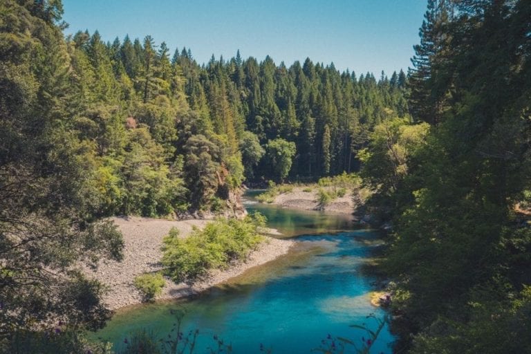
As you continue along Mattole Road, you’ll reach another tiny town – Honeydew. Here you have two options, depending on what kind of vehicle you have.
If you have a 4-wheel drive SUV, you can take Wilder Ridge Road from Honeydew to Shelter Cove. This road is bumpy and unpaved in parts, but takes you directly to Shelter Cove rather than going out and around.
If you don’t have a 4-wheel drive vehicle, continue along Mattole Road back to Highway 101 through Humboldt Redwoods State Park.
One of my favorite parts of Mattole Road was driving through Humboldt Redwoods State Park, so I’ve included more details on that part of the drive.
Humboldt Redwoods State Park
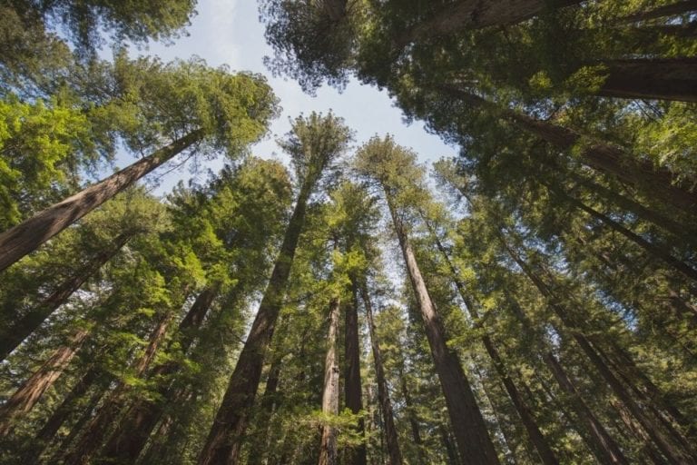
As Mattole Road heads further inland, back towards Highway 101, the landscape begins to change. You’ll leave behind the rocky coastline.
Trade Mattole Road’s grassy hills for Humboldt Redwoods State Park‘s shaded forest.
A third of the redwoods in Humboldt Redwoods State Park are old-growth, potentially up to 2,000 years old. This old-growth redwood forest is the largest left on the planet after decades of logging.
As you make your way through the state park on Mattole Road, get out and walk amongst the redwoods. I recommend soaking in the solitude here instead of joining the crowds at the Avenue of the Giants.
Shelter Cove, California
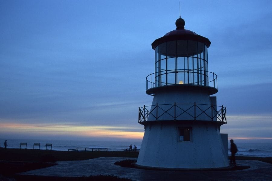
If you continue through Humboldt Redwoods State Park, head south to the remote Lost Coast town of Shelter Cove. While only 24 miles from Highway 101, the winding drive takes an hour to reach the coast.
Shelter Cove is a coastal resort town for photographers, hikers, and fishermen who want to get away from it all. Compared to other towns in the Lost Coast, Shelter Cove has plenty to do.
If you’re looking for a relaxing day off, rest at The Tides Inn and grab a meal and beer at Gyppo. Stopover to explore the local’s favorite beach, Cove Beach.
Black Sands Beach
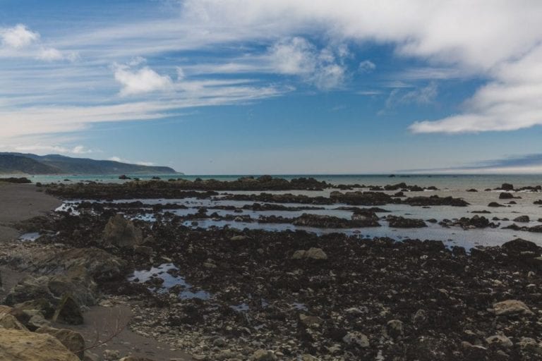
Just north of Shelter Cove, you’ll find Black Sands Beach, the last stop on this Lost Coast road trip.
So you may be wondering, is the sand actually black at Black Sands Beach? Yes.
So… why is the sand black at Black Sands Beach?
The black sand on this California beach is caused by dark minerals and iron. These minerals are heavier than typical sand.
So while there is your typical beige sand, it gets washed out to sea by the tide while the black sand stays put.
This unique beach is also a starting or ending point for many backpackers hiking the Lost Coast Trail.
Nearby Spots to Add to Your Lost Coast Drive
If you have more time to spend in Northern California, consider adding these nearby destinations to your road trip!
Crescent City, California
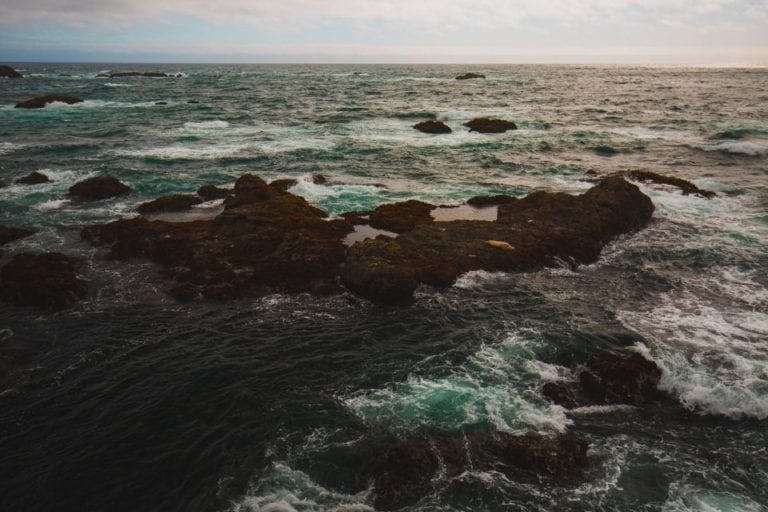
If you didn’t get your fix of quaint towns in Ferndale or Eureka, head further north along the coast to Crescent City.
Crescent City is home to the northernmost California lighthouse and is the last sizeable town you hit before the Oregon border. Here you can find plenty of Airbnbs with coastal views, restaurants, and plenty of coastline for exploration.
Avenue of the Giants
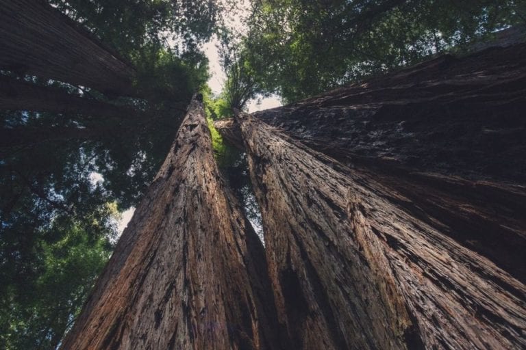
A trip through Humboldt Redwoods State Park is incomplete without a trip to the famed Avenue of the Giants. The 31-mile drive takes you along the old Highway 101 route.
The scenic drive starts at the South Entrance and continues for 31 miles, running parallel to the new Highway 101. At the entrance, you can pick up a map and brochure with all the top attractions.
All along the Avenue of the Giants there are short hiking trails and groves to explore. Take your time and stop to explore the majestic redwoods outside of your car.
Here are a few can’t miss spots along the Avenue of the Giants.
Shrine Drive-Thru Tree
The Shrine Drive-Thru Tree in Myers Flat is a popular attraction. For $10 you can drive your car through the 7’x7’ narrow split in the bottom of a redwood tree.
In my opinion, it is overrated, but for some, it’s a can’t-miss experience and photo op.
Founders Grove
Founders Grove is the top thing to see along Avenue of the Giants. It’s home to a massive fallen redwood called the Dyerville Giant.
A short half-mile trail takes you to the fallen tree where you can observe the giant roots that fan out from its base. The trail also has informative displays on the old-growth redwood forest.
Mattole Road
About halfway through Avenue of the Giants, you’ll reach Mattole Road. If you took the shortcut from Honeydew to Shelter Cove, drive a few miles up Mattole Road to explore these redwoods too.
Avenue of the Giants can be crowded, but few people choose to venture onto Mattole Road. Escape the crowds and see some of the biggest trees in the park (some over 17 feet in diameter!).
Redwood National and State Parks
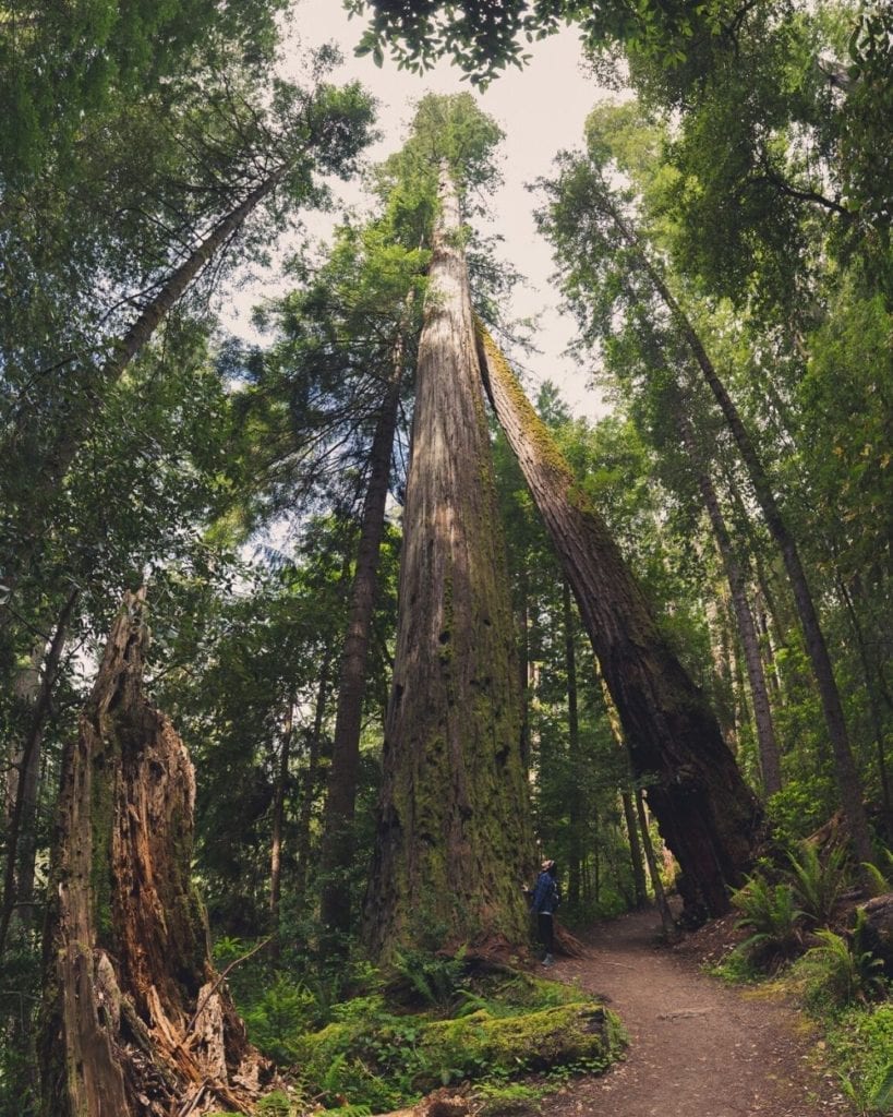
Only a few miles away from the Lost Coast is one of my absolute favorite national parks – Redwood National Park. This park is home to the world’s tallest trees. In fact, the world’s tallest tree grows here!
This park is a partnership between 3 California state parks and 1 national park. Together they form Redwood National and State Parks. These parks protect half of the world’s old-growth redwoods.
On your trip to Redwood National and State Parks, don’t miss these epic hikes:
- Tall Trees Grove
- Fern Canyon
- Enderts Beach
- Prairie Creek and Cathedral Loop
Looking for more ideas to plan your Redwood National Park trip? Check out these posts!
– San Francisco to Redwood Road Trip
– Visiting Redwood National Park in 2023
– 25 Things to Do at Redwood National Park
– 12 Best Hikes in Redwood National Park
Map of the California Lost Coast Highway
Curious to see how it all comes together? I’ve put together this map of all the best spots on this California Lost Coast road trip. See the Lost Coast map here.
Important Tips for Your Lost Coast Road Trip
Road trips, particularly through remote areas like the Lost Coast, require preparation. In the Lost Coast, you won’t have cell service (you wouldn’t be “lost” if you had service right?).
To prepare for your road trip, follow these tips:
- Book accommodations in advance. Most campsites and hotels in the area allow for advance online reservations. To save yourself the hassle of trying to find a place to stay without cell service, book in advance.
- Download all reservation information offline. Once you’ve made your reservations, be sure to save PDF versions of the confirmation emails in your Google Drive or bring along a printed version.
- Bring the right type of car. The roads on the Lost Coast are bumpy and filled with potholes. While you don’t need an all-wheel-drive vehicle, I do recommend an SUV. This will give you more ground clearance and prevent you from bottoming out on the bumps along Mattole Road.
- Download maps offline. I recommend downloading detailed maps of the region to Google Drive and making them available offline. You should also download maps in the Google Maps app. This will allow you to navigate without cell service. I prefer to download the entire area I’ll be passing through. It doesn’t take up much space and is a great safety precaution.
To download a custom map area:
- Click your account icon next to the search bar
- Select offline maps, then click “Select Your Own Map”
- Resize the box to contain your desired map area and click to download
Read More: Best Road Trip Planning Apps
Best Places to Stay Near the Lost Coast California
As you know by now, the Lost Coast is incredibly remote. That means there are very few places to stay within the Lost Coast. But thankfully, the surrounding towns and parks provide plenty of options.
Here’s your guide to some of the best places to stay in and around the Lost Coast.
Lost Coast Camping
Campgrounds in King Range National Conservation Area are first-come, first-served and $8 per night. I recommend staying at Mattole Campground, just south of Petrolia.
Mattole Campground has 14 sites with fire rings, picnic tables, and pit toilets.
Camping in Redwood National and State Parks is also a great option! These campgrounds are close enough to the Lost Coast and allow you to explore the giant coastal redwoods.
Here’s my favorite of the Redwood campgrounds:
- Jedediah Smith Campground. Camp amongst old-growth redwoods near Smith River in Jedediah Smith Redwoods State Park.
- Mill Creek Campground. Set up your tent amongst mossy, young redwoods and trails in Del Norte Coast Redwoods State Park.
- Elk Prairie Campground. Spot a rare Roosevelt elk amongst the old-growth redwoods in Prairie Creek Redwoods State Park
- Gold Bluffs Beach Campground. Camp along the ocean, near popular trails like Fern Canyon in Prairie Creek Redwoods State Park
Nearby Hotels
If camping isn’t your style, consider staying in one of the many towns near the Lost Coast. Here are the hotels I recommend in the surrounding towns of Eureka, Crescent City, or Shelter Cove.
- Carter House Inn in Eureka
- Eureka Inn in Eureka
- Historic Requa Inn in Crescent City
- The Tides Inn in Shelter Cove
Stay at a Rental Property
The region around the Lost Coast also has home rentals and private campgrounds. Check out Airbnb, VRBO, or Hipcamp for unique stays in the area.
What to Pack for Driving the Lost Coast
Layers and roadside safety gear are essential for this Northern California road trip. Before you set out on your journey, make sure you have these important items:
- Roadside Assistance Kit – Look for one with jumper cables and repair tools like this emergency roadside kit from AAA.
- Down Jacket or Fleece – Warm layers like a down jacket or fleece pullover are essential. I like the Arc’teryx Cerium LT Down or Patagonia Better Sweater.
- Waterproof Rain Jacket – If you’re visiting in the rainy months, be sure to pack a rain jacket with Gore-tex (a waterproof material). I have the REI XeroDry GTX.
- Comfortable Leggings – You should only wear comfortable pants on a road trip. I prefer leggings, like the Athleta Elation Tights (these are made for yoga so they are ultra-comfortable and movable).
- The 10 Essentials – If you’re heading out for one of the many hikes in the area, be sure to bring along the 10 hiking essentials that keep you safe on the trail. For more on the 10 essentials, check out my hiking gear guide.
- Lightweight Hiking Shoes – If you stop for a hike on the beach, you’ll want lightweight shoes with solid traction. I like the Altra Lone Peak 4.5 Trail Runners for short beach hikes.
- Bear Canister – If you’re doing any overnight hikes or camping, a bear canister is required in the King Range National Recreation Area. The BearVault 450 does a great job at keeping your food safe from wildlife.
Looking for more tips on what to pack for your road trip? Check out my guides on the ultimate road trip packing list and the best road trip planning tools for all my favorite gear picks and tips to make packing for your trip a breeze!
Frequently Asked Questions About California’s Lost Coast
Can you drive through the Lost Coast?
There are two roads that allow you to drive through the Lost Coast. The Mattole Road loop takes you along the coastline, starting in Ferndale and ending in Humboldt Redwood State Park. You can also drive to Shelter Cove, a small coastal town in the Lost Coast.
How long is the Lost Coast Scenic Drive?
The Lost Coast scenic drive along the Mattole Road loop is roughly 65 miles. While only a moderate distance, plan to spend at least 3 hours driving this loop. If you plan to visit Shelter Cove too, I’d recommend a full day.
How long does it take to drive the Lost Coast Highway?
It takes roughly 3 hours to drive the Lost Coast Highway along Mattole Road from Ferndale to Humboldt. The road is rough and winding, so driving slowly and cautiously is a must.
Why is it called the Lost Coast?
The California Gold Rush brought massive amounts of settlers to this region. As the logging and gold industries declined into the 1900s, settlers abandoned the region. Thus, this depopulated area is now called ‘The Lost Coast’.
Final Thoughts on This Lost Coast Road Trip Route
There’s so much to do and see in the Lost Coast in California, from Mattole Road to Shelter Cove. But be sure to plan ahead as the trip is very remote.
If you only have a day on the Lost Coast, don’t miss:
- Ferndale
- Mattole Road
- Shelter Cove and Black Sands Beach
- Humboldt Redwoods State Park
Planning a Northern California road trip? Check out these posts for more inspiration!
- San Francisco to Redwood National Park Road Trip
- Ultimate Guide to Redwood National Park in 2023
- San Francisco to Big Sur Coastal Road Trip
Are you planning a national park trip but don’t know where to start? Get my free 28-page national park ebook where I break down everything you need to know to visit all 63 USA national parks.
Download your free ebook here.
Don’t Forget to Save This Post on Pinterest
